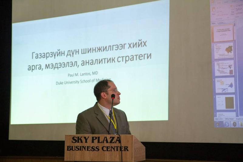
This May, Paul Lantos, MD, gave two presentations on geospatial tools and analysis--one nearly 7,000 miles apart from the other. On May 19, Lantos gave a lecture on geospatial methodology and analysis for the One Health Training Program at the Duke Global Health Institute. Then, on the 26th and 27th, Lantos traveled to the Mongolian National University School of Public Health in Ulaanbaatar, Mongolia, where he gave a keynote address on methods and analytic strategies for geospatial data, as well as a demonstration on the use of human health data in geographic information systems for an international workshop called “Geospatial Tools for Research and Public Policy in Environmental Health.

Dr. Lantos tries his hand at eagle hunting while in Ulaan Baatar.